Cape Cod Bike Maps
Provincetown Bicycle Map & Safety Guide

Printed copies of this map are around town and at all of the bike shops. Find it at Town Hall, the Chamber of Commerce, and the Tourism Office.
Cape Cod National Seashore Bike Map

Printed copies of the Cape Cod National Seashore’s bike maps are available at the trailheads and Visitor Center in the park. More at the Cape Cod National Seashore web site >>
Truro Bike Brochure

The Truro Bike & Walkways Committee’s bike brochure includes local maps and safety tips.
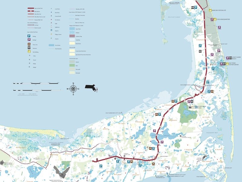
Cape Cod Rail Trail Bike Map

This is the official map produced by the state's Department of Conservation & Recreation, which manages and maintains the rail trail.
Cape Cod Rail Trail web site >>
Cape Cod Rail Trail Official Map (3.5 MB PDF) >>
East Coast Greenway Map
The East Coast Greenway includes a route along the Cape to Provincetown on their map. In the future, it will become a signed route that mostly follows the Claire Saltonstall Bike Route (MA Bike Route 1).
More at East Coast Greenway Map Tool >>
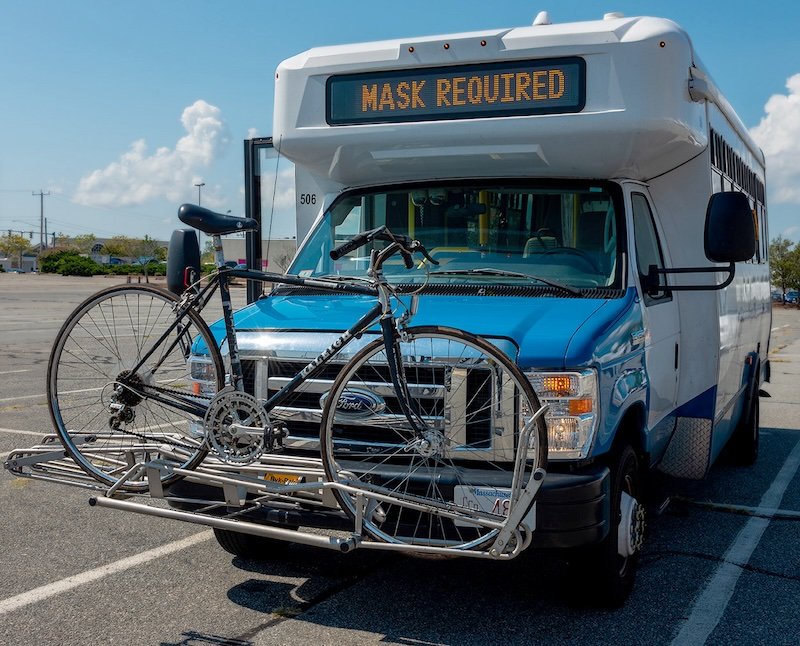
Bring your bike on the bus!

You can also get from Provincetown to the Wellfleet trailhead of the Cape Cod Rail Trail at Lecount Hollow by bringing your bike on the Cape Cod Regional Transit Authority’s Flex Bus. It departs from MacMillan Pier in the center of Provincetown.
All of the buses can fit three bikes in the rack on front for no additional charge. E-bikes are too heavy for these racks, though, so only classic pedal bikes are allowed.
If you have an MBTA Charlie Card, you can use it to pay the one-way $2 fare.
The seasonal Provincetown/North Truro Shuttle (aka “The Shuttle”) can also take you and your bike to and from North Truro, Herring Cove, Race Point Beach, or Beech Forest.
